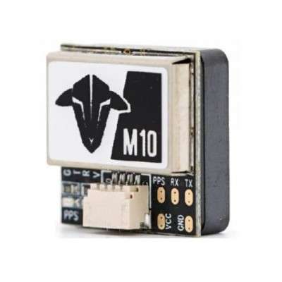
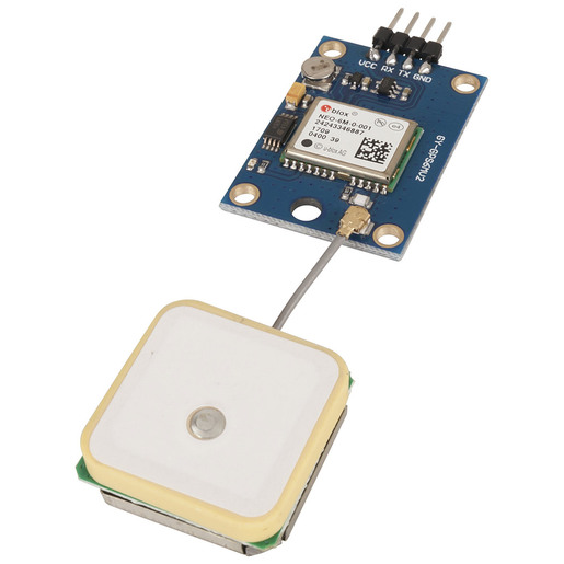
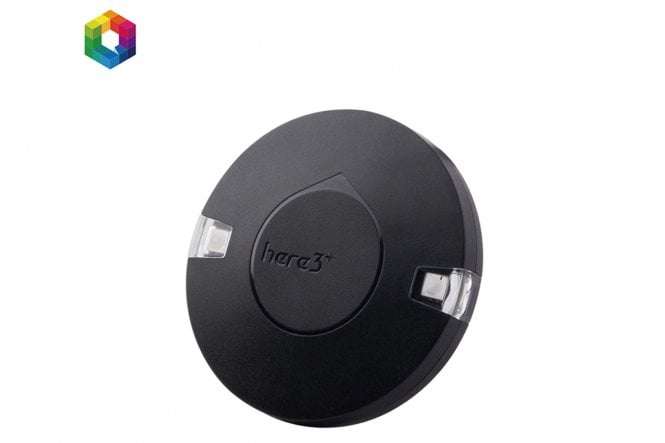
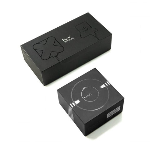
Here RTK GNSS Set, For Cube autopilot Pixhawk 2.1 Cube orange
$17.27
$25.21
RTK used to increase GPS accuracy to centimeter level. High GPS accuracy is needed for GIS mapping survey. How does it work To achieve centimeter level accuracy two GPS units are used with one of them being stationary (base) and another one moving (rover). Base unit streams correction to the rover over radio or 3G. It’s simple – all you need is to setup Here to receive corrections from a base station: 1) Use a pair of Reach modules connected by radio modem, wi-fi or over the internet. One would act as a rover, while the other one would be your own base station.